Here are some helpful maps to help you find your way on Idre Fjäll.
Bikeland
Download biking map
Walk, hike & run
Download the map
Campground Map
Download campground map
Alpine
View our piste map
Cross-country skiing
Download track map
Find the way to the ski school
View meeting points
Winter
View area map
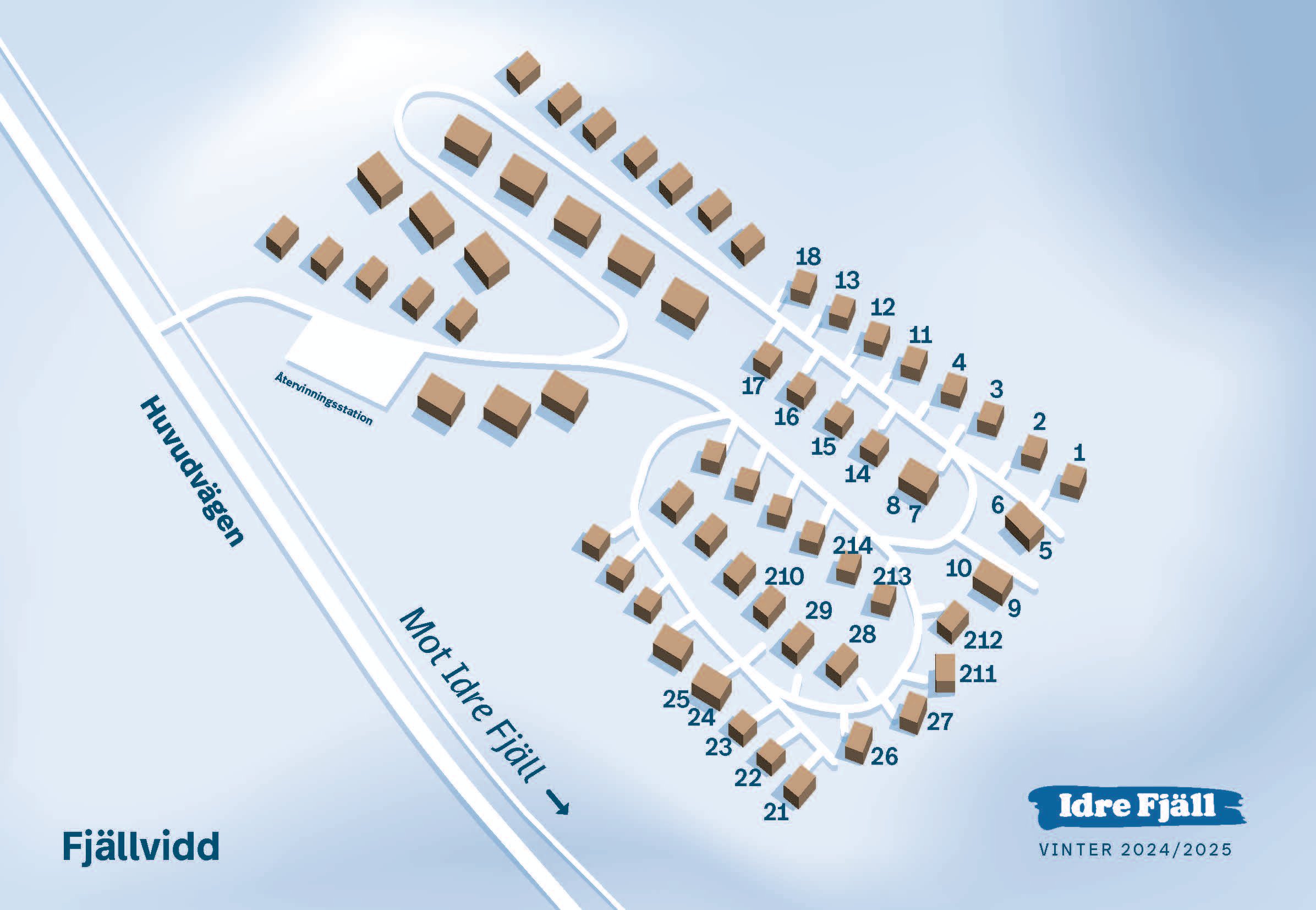
Cabin area
Download map
Getting Here, preparation & tips
Find your way to Idre Fjäll
Buy your Ski pass online
Buy your Ski pass
More activities
Explore our winter activities